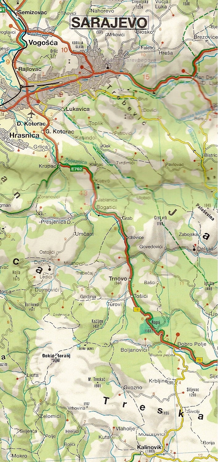
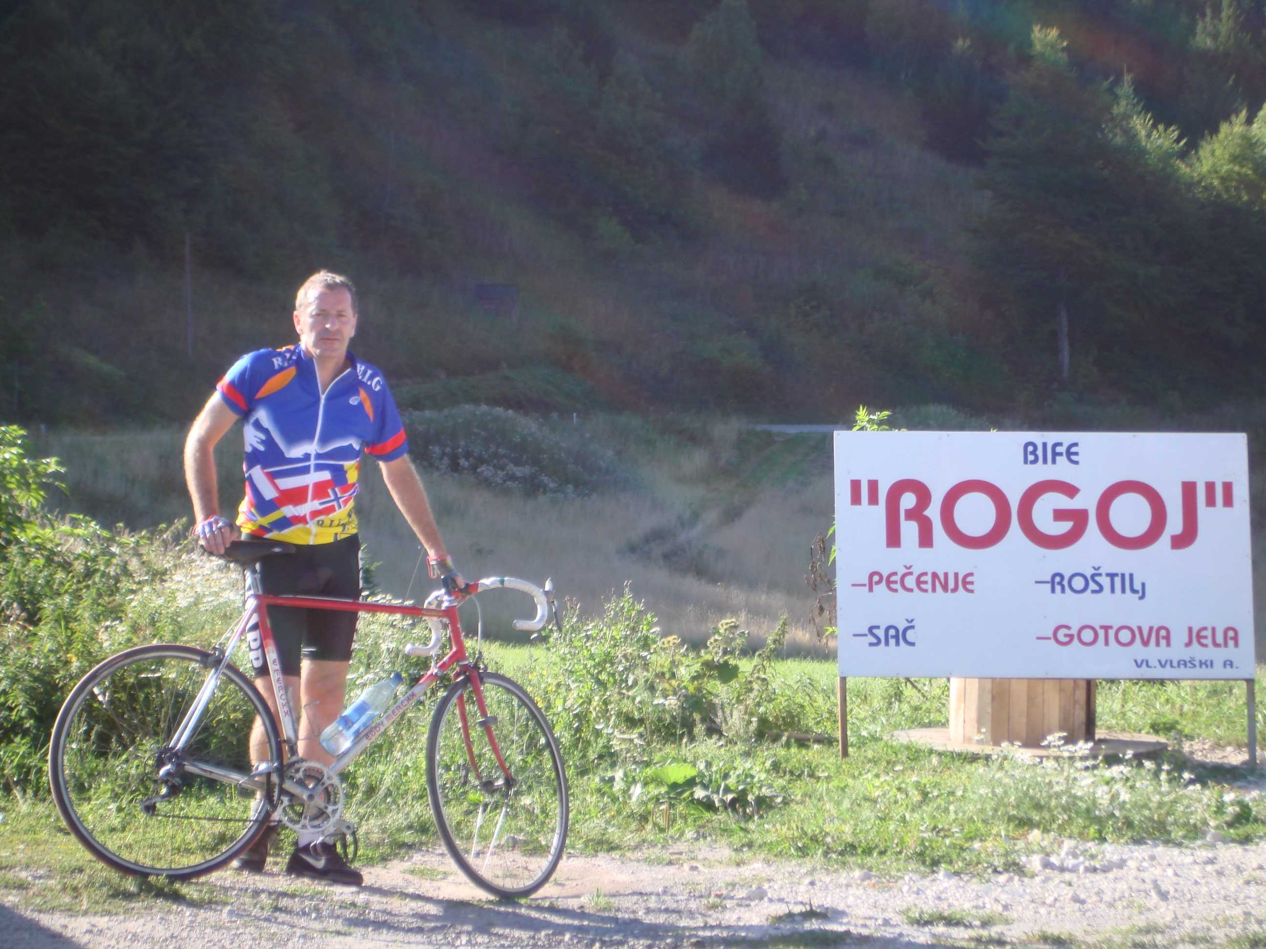
892. Rogoj
col sur une nationale bien revêtue (avant la guerre) , mais aussi seulement des infos de guerre et guère de tourisme
Pass on a good paved national road (before the war !!), but only informations about the war and not about tourism.
Freytag & Berndt 1:250.000
Appreciation from/d'Etienne Mayeur (travel/voyage in/en 2006)
From the crossroad on the road Gorazde-Dubrovnik, there are at least 35km. The first ones are climbing very slowly along the river (10 km?), afterwards 1 or 2 km a little steeper to reach a curve and then, a new flat area (5 km). A 4-5% climb follows on at least 10 kms with a pass in an all black tunnel (under work). 5 km before Dobro Polje, the road becomes another time flat and finally, from the village to the top about 7km with an average gradient of 7%. On the top, a kind of "driving-chips-shop-burger" "Rogoj" and the burned rests of an house. (the lengths are not sure because his computer was out of use.
OU/OR
New 
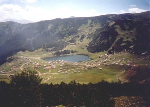
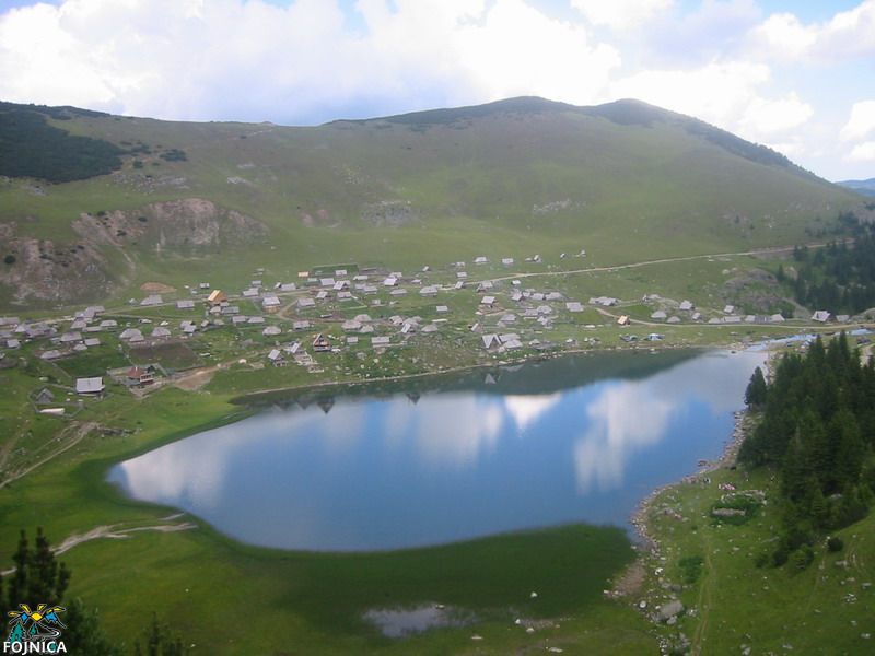
3. Prokosko Jezero
Un lac à 1650 m d'altitude, très prisé au bout de 22km d'une route muletière mais très accessible et entretenue vu le tourisme partiant de Fojnica.
A lake, lacated at an altitude of 1650m, with much tourism at the end of a rideable and well kept tarmac road, starting at Fojnica.

Freytag & Berndt 1:250.000